Turn requests into actionable geospatial intelligence. GeoAsset handles the data processing while you focus on insights.


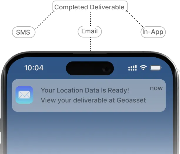
Utilize precise location data to make informed decisions anytime, anywhere. Tailor your requests, track progress, and get notified when your requested deliverables are available.
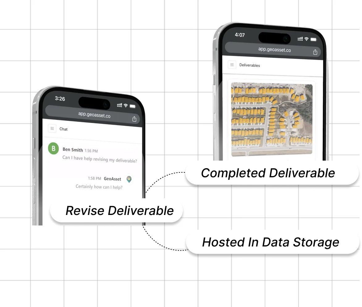
Our service provides comprehensive support to update deliverables and securely store them, all within a single, convenient platform.
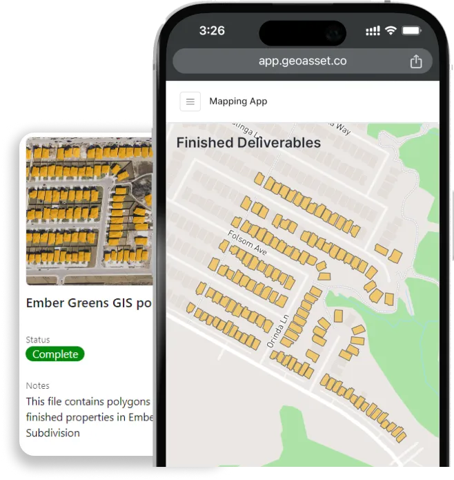
Visualize and manage your deliverables with our interactive map feature, designed for seamless integration with your location data requests. Designed for easy review and maintenance.
Imagine identifying new customer locations, optimize your delivery routes, or discovering untapped markets. With our powerful geographic data solutions, you can do just that.
Are you ready to optimize your business?